About GIS
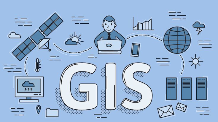
GIS (Geographic Information System) is used to collect, analyze, and visualize geographical data using maps and satellite images.
Applications
- Navigation & Maps
- Urban Planning
- Disaster Management
- Environmental Studies
GIS (Geographic Information System) is used to collect, analyze, and visualize geographical data using maps and satellite images.